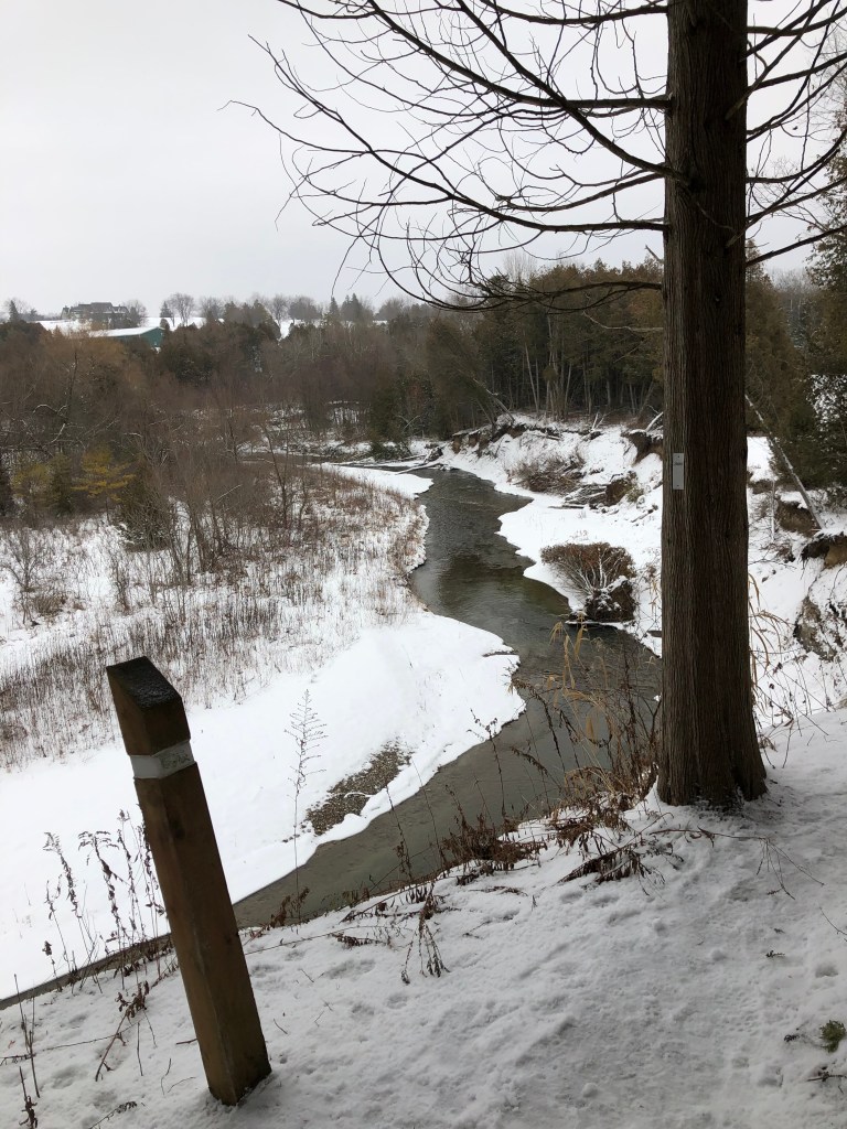
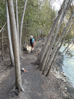
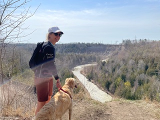
SOUTH ROUTE: This trail has some scenic vistas and follows the east side of West Duffins Creek. You hike under a working train trestle, which is cool. Some of the offshoots abut a new housing development (not so cool). My preferred Seaton Trail hike is from Whitevale heading south.


PARKING: N43.86403 W79.09846
DISTANCE: 9.5 km
ELEVATION: 182 m
DIFFICULTY: Medium
TIME: 2hr42m
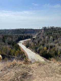
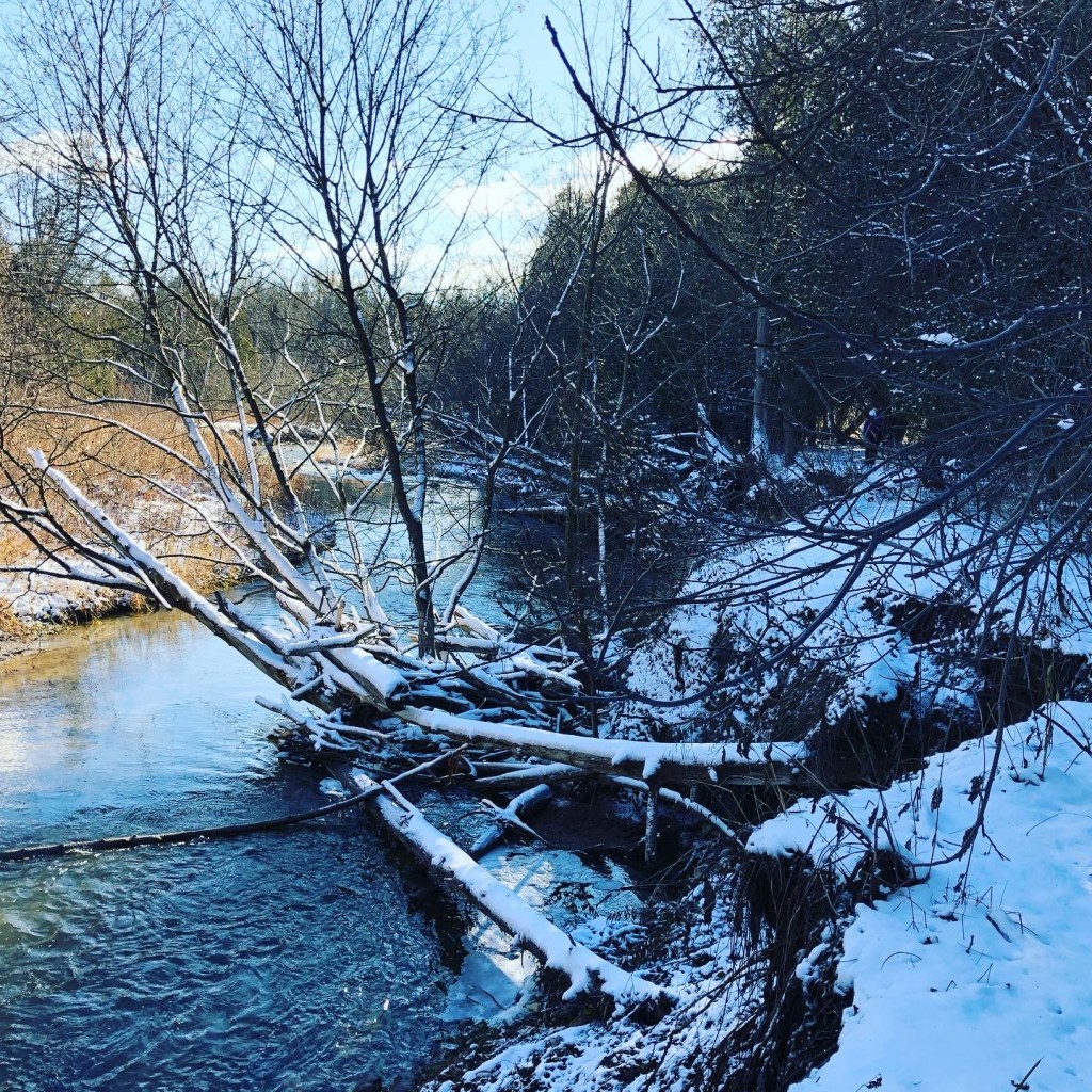
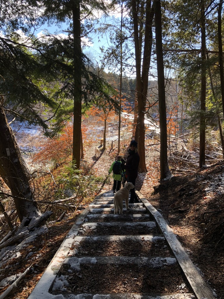
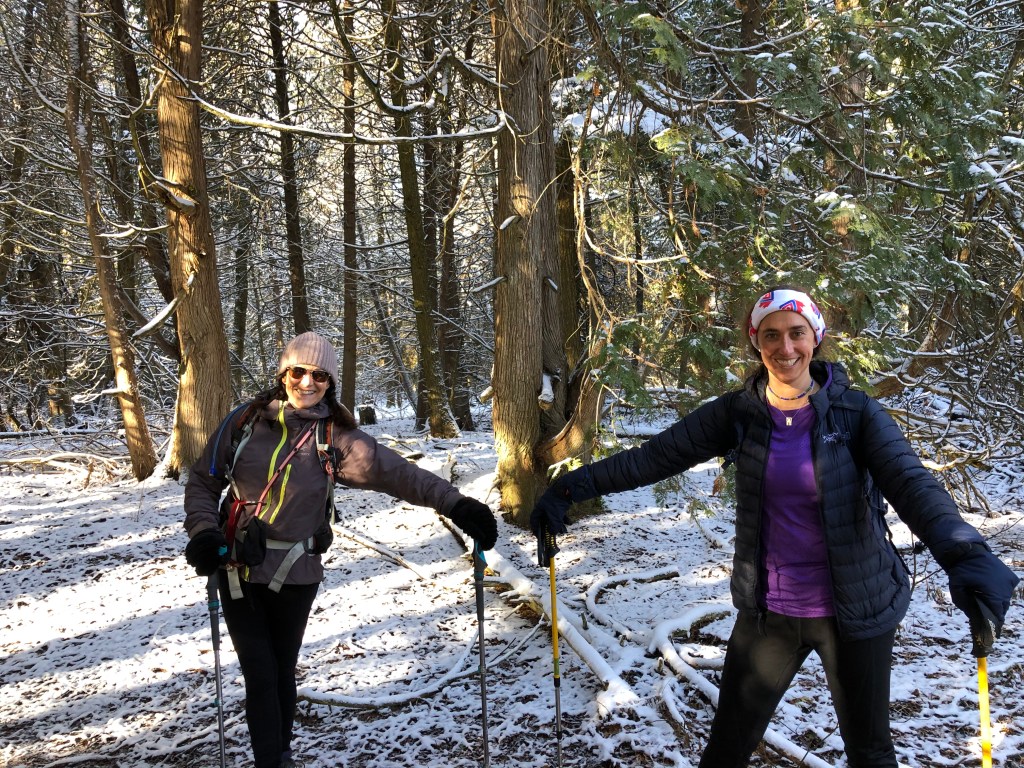
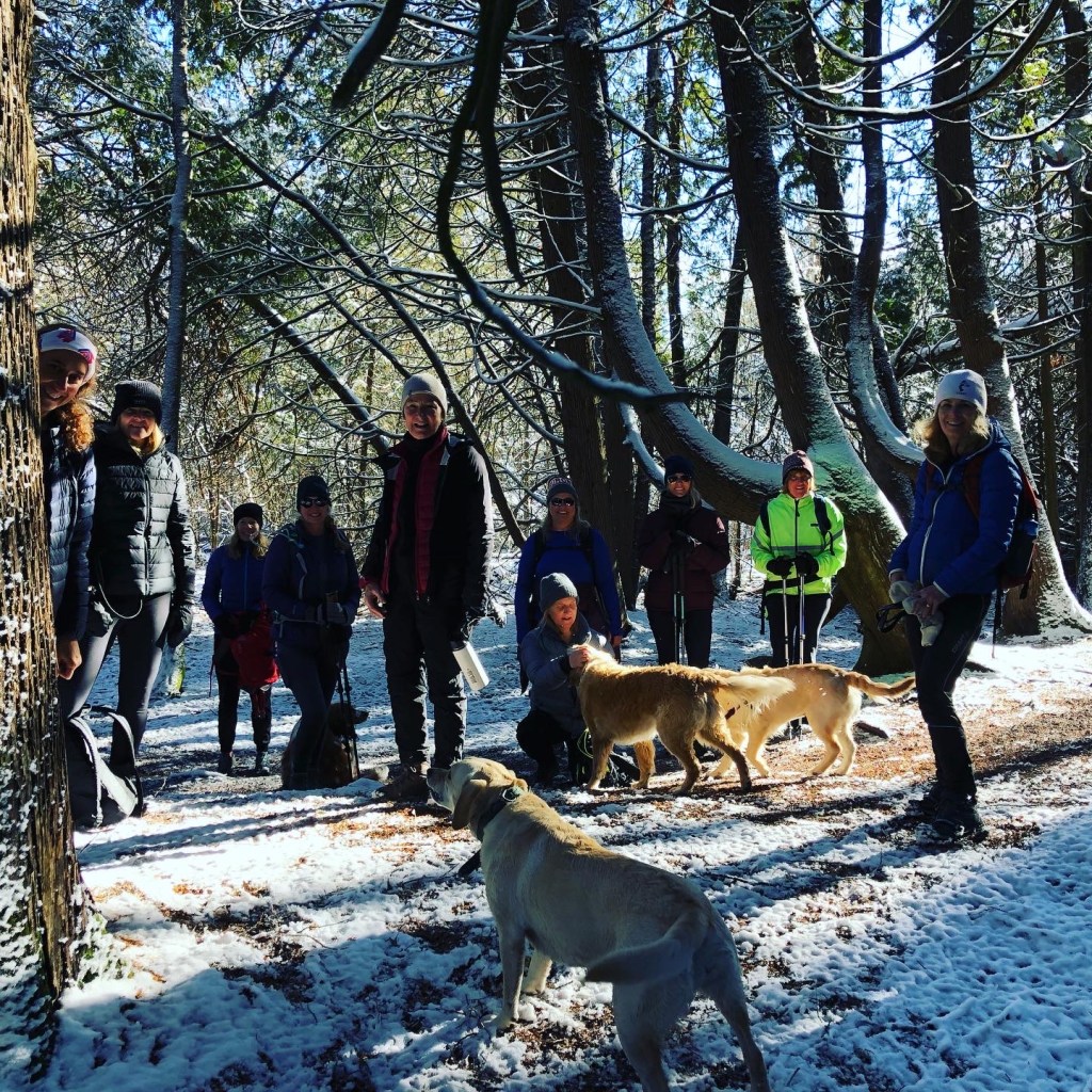
WHITEVALE ROUTE: This is the prettiest option of all the Seaton Trail hikes. According to the Friends of Seaton Trail website, “the trail follows the historic hunting and fishing routes on the creek, used for centuries by aboriginal people. In Pioneer times, the creek and valley became the site of several water-powered mills. A former grist mill still exists at Whitevale.” It is particularly pretty in winter as the snows lays heavily in the cedars and makes for a white canopy. It does get icy, so wear crampons and bring your poles.
PARKING: N43.88649 W79.16267

DISTANCE: 6.9 km
ELEVATION: 70m
DIFFICULTY: easy (medium in winter)
TIME: 1hr40m